
El Paso Neighbor Source Layers
Different public sources answer different questions about a block. The City parcel service is useful for parcel geometry and nearby lots. The El Paso Central Appraisal District, known as EPCAD, provides tax-year account context. County recording indexes point to instruments, while the City association layer supplies a civic boundary. None of those sources is a complete list of who lives nearby. Use the returned date and source type before treating a result as anything more than a location, account, or record lead.
| Source | Block information | Access |
|---|---|---|
| City EPParcels service | Parcel geometry and nearby parcel locations | Public map, identify, query, and find service |
| EPCAD property search | Account, GeoID, owner-name field, address, and tax-year context | Public search by name, address, Property ID, or GeoID |
| County Clerk official records index | Recorded-instrument leads by subdivision, party, book/page, lot, block, or date | Public index; copy or image access varies |
| AssociationBoundary layer | City-recognized association NAME polygon around a street or parcel | Public GIS layer |
| Texas voter information route | Individual registration-status information subject to confidentiality limits | Official state portal and custodian process |
An EPCAD row is not a certified deed and does not prove current residence. A recorded party, an appraisal account, a historical directory entry, and a parcel polygon may describe the same place at different times. The useful result is a short, dated source trail, not a profile of people around an address.
Map El Paso Neighbors by Parcel
Start with the City’s EPParcels map service to locate the address and inspect the immediate parcels. The service supports map export, identify, query, and find operations. Keep it in its proper role: it gives geographic context, not a certified ownership decision. Then use the same address in EPCAD and retain the tax year. If a legal question remains, move to the County Clerk index and request the underlying record from the custodian where appropriate.
- Locate the street address in the parcel map and note the parcel geometry and layer date.
- Use the nearby parcel shapes only to identify the small block or radius that needs review.
- Search EPCAD property search by address, Property ID, or GeoID and record its tax year and displayed account fields.
- For an instrument lead, use the County Clerk’s Official Public Records index with the date, subdivision, or lot/block details available.
- Keep a parcel, account, and deed-index result separate unless the dated records actually connect them.
For a longer corridor rather than the parcels immediately around one address, use the El Paso by-street directory. That record chain is broader than a neighbor search and should retain its own street aliases, side-specific ranges, and municipality values.
El Paso Neighbor Map Fields
The City street-centerline layer helps test whether nearby addresses belong on the same road segment. Its fields include street direction, street name and type, left and right address ranges, ZIPR and ZIPL, MUNR and MUNL, aliases, planning area, and edit date. Left and right sides can carry different ZIP or municipality values, especially where a road crosses an administrative edge. Use the returned values instead of assigning a neighborhood label from appearance alone.
- Parcel
- A mapped tract of land. Its geometry locates a property but does not by itself establish current ownership or occupancy.
- GeoID
- An EPCAD geographic identifier used with an appraisal account and search result.
- Association boundary
- A City-recognized civic polygon, distinct from a postal place, voting precinct, HOA boundary, or legal subdivision.
- Recorded instrument
- A filed document indexed by the County Clerk, such as a deed, plat, or easement, with its own filing date and reference.
Note: Preserve a centerline’s side-specific ZIP and municipality fields when they differ, rather than forcing one label onto the whole block.
El Paso Neighbor Boundaries Compared
The City-recognized association boundary service displays association names in its NAME field. It is a valuable civic-context layer because it can be considered beside a parcel, a street centerline, a subdivision, a ZIP polygon, and a planning area. It should not be used to say that every address within a polygon belongs to an association, receives its notices, or shares the same postal or legal identity.
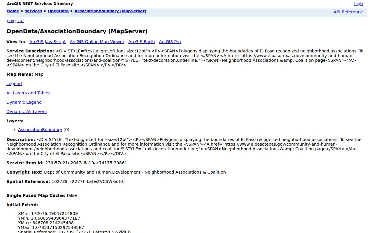
The official boundary service is shown below. The image helps illustrate why El Paso neighbors may describe the same block with different, valid geographic labels.
Read the association NAME with the layer date and compare it against the source needed for the question. A parcel map answers land geometry, a centerline answers road ranges, a ZIP polygon serves local postal geography, and a subdivision viewer supplies a plat-oriented name.
| Layer | Primary purpose | Do not infer |
|---|---|---|
| Association boundary | Civic recognition and neighborhood context | HOA membership or postal delivery area |
| Street centerline | Road name, range, alias, side ZIP, and municipality | Parcel ownership or household membership |
| Parcel GIS | Parcel shape and adjacency | A certified deed chain |
| Subdivision viewer | Development and legal-description context | A current resident list |
El Paso Neighbor Association Contacts
City-recognized associations are a community layer, not a verified roster of every neighborhood group in El Paso County. The City’s neighborhood page identifies the El Paso Neighborhood Coalition and its interactive map. It also names Civic Empowerment as the route for association questions. The research did not verify a complete current association contact roster, so contact details should be checked on the City page before relying on a meeting or person-specific listing.
| Contact route | Use it for | Current detail |
|---|---|---|
| City Civic Empowerment | Recognized-association and registration questions | 915-212-1681 NeighborhoodServices@elpasotexas.gov |
| El Paso Neighborhood Coalition | City-described coalition activity | Hybrid meeting noted for the third Monday, 6-8 Mountain Time; confirm the current schedule first |
| Named association in the City legend | Community context for a mapped boundary | Use the City map and verify any current public contact independently |
| City records custodian | A specific City-held association record | Submit a focused written request under the Texas Public Information Act |
The City neighborhood-association page provides the community source shown below. It is a practical starting point for El Paso neighbors seeking recognized-boundary context, while individual association contacts and calendars remain subject to change.

The Civic Association Registration Form also shows that recognition has formal requirements, including bylaws, a membership list of 100 or more names and addresses, district coverage, and a planning-area choice. It is not a census of informal neighborhood groups.
El Paso Neighbors and Five Areas
El Paso uses five city planning areas: Central, East, Northeast, Northwest, and Mission Valley. The research also documents City legend names including Austin Terrace, Cielo Vista, Coronado, Chihuahuita, Chamizal Neighbors, Golden Hills, Sunset Heights, Upper Valley, Valle de las Misiones, Vista Hills, Ysleta, and Yucca. These names can make a block easier to orient, but the planning-area field and association NAME must remain the labels returned by their respective layers.
A street can appear continuous while crossing a planning area, municipal boundary, ZIP boundary, or subdivision. That is common enough to warrant a source-by-source comparison. When layers disagree, keep the disagreement. It often reflects their different administrative purposes rather than an error in the map.
Names on the City Legend
Neighborhood names can hold a longer memory than a map layer. For a historic block, Border Heritage at the El Paso Public Library offers maps, newspapers, vertical files, yearbooks, and city directories. UTEP and the El Paso Historical Society add older directories, photographs, maps, annuals, and family or business collections. These sources can explain an older spelling or a past community reference, but they should be reported as dated historical context rather than as proof of a present household.
Border Heritage assists researchers remotely and in person. A directory or map entry becomes more useful when it is recorded with its volume, page, publication year, and original street spelling. Pair that detail with the current centerline or parcel layer only when the source trail supports the connection.
Note: A historical neighborhood name may remain useful context even when a current parcel, ZIP, or association boundary uses a different label.
El Paso Neighbor Privacy Limits
Texas public-information access has boundaries. The Texas Secretary of State explains that voter information has confidential fields, and some voters may use web suppression or an Address Confidentiality Program route. Social Security, driver-license, and state-ID numbers are confidential. How a person voted is not public. A voter status tool is not a block-level resident list, and it should not be used to test addresses or work around an official protection.
Lawful use. Use public sources to understand a block’s geography, history, or civic context. Do not use records to stalk, threaten, harass, intimidate, or expose anyone, and do not reproduce protected addresses or unnecessary identifiers.
The Texas Data Privacy and Security Act and the Texas Data Broker Act provide further privacy context, but neither changes the limits on a City or County record. A public portal link is different from copying its underlying information into a lasting dossier. When an official source protects an address or asks the requester to stop, respect that boundary.
Careful El Paso Neighbor Sources
Official records are dated, source-specific, and tied to a custodian. They may be incomplete, but they make it possible to identify the map, account, instrument, or historical item being discussed. Commercial neighbor-search categories can combine older and mismatched information without showing the underlying record. They are not a substitute for the City parcel service, EPCAD, County Clerk index, or a library source with a stated date.
| Official, dated source | Commercial neighbor-search category |
|---|---|
| States the keeper, record type, returned fields, and date | May not show the source date or underlying record |
| Separates parcel geometry, appraisal context, and recorded instruments | Can blur a location lead into a claim about a person |
| Provides a custodian or lawful request route when access is limited | Cannot override confidentiality protections or record exceptions |
For a public record that is not available online, a focused written request under the Texas Public Information Act, Texas Government Code Chapter 552, should name the actual custodian, record category, date range, and preferred delivery format. County guidance says written requests trigger the process and responses generally occur within ten business days, subject to exceptions and volume. Ask for the record, not an entire personal file.