
El Paso ZIP Code Coverage
El Paso County’s official reference map and the City WNV GIS layer are useful starting points, but they are not the same dataset. Together, they show 33 observed labels across the county’s city core, lower valley, smaller communities, Fort Bliss, and desert areas. The county map names Anthony 79821, Vinton 79835, Clint 79836, Fabens 79838, San Elizario 79849, Tornillo 79853, Fort Bliss 79918, and a broad group of El Paso labels. The GIS layer supplies local polygon labels. Neither source should be read as a promise that every address inside a drawn area receives the same delivery service.
| ZIP | Areas Covered | Post Office | Notes |
|---|---|---|---|
| 79821 | Anthony label on county map and GIS | County-map place label | Present in both official sources. |
| 79835, 79836, 79838 | Vinton, Clint, and Fabens map labels | County-map place labels | All appear in the GIS layer; 79938 is also placed with Hueco Tanks on the county map. |
| 79849, 79853 | San Elizario and Tornillo map labels | County-map place labels | Present in both official sources. |
| 79901-79908; 79911-79912; 79915-79916 | El Paso labels across the county reference map | County-map city label | Map and GIS must be compared for a particular address. |
| 79920, 79922, 79924, 79925, 79927, 79928, 79930, 79932, 79934-79936, 79938 | Additional El Paso polygon and map labels | Source-specific label | Not every label has identical representation in both datasets. |
| 79918, 79968 | Fort Bliss and an additional county-map label | County-map place label | Shown on the county PDF, not in the observed WNV polygon-label set. |
The union includes 79821, 79835, 79836, 79838, 79849, 79853, 79901, 79902, 79903, 79904, 79905, 79906, 79907, 79908, 79911, 79912, 79915, 79916, 79918, 79920, 79922, 79924, 79925, 79927, 79928, 79930, 79932, 79934, 79935, 79936, 79938, and 79968, plus the map’s duplicate 79938 Hueco Tanks placement. The count of 33 is a reconciliation of labels observed in the two sources, not a claim about exclusive service areas.
El Paso ZIP Code Reconciliation
The City WNV ZIP GIS layer is a local polygon source. Its observed set has 30 labels, while the county PDF adds 79918 and 79968. The county map also places 79938 with Hueco Tanks. That difference is meaningful. A local GIS polygon is a planning and display layer, whereas the county map is a reference map. Neither one replaces the delivery result for a complete street address.
Keep the source purpose beside each value. The county map provides a cartographic label. WNV provides a city GIS polygon. The street centerline supplies a side-of-road ZIP field. EPCAD carries a situs or account context. USPS returns delivery and recognized-city guidance. A Census ZCTA is a statistical approximation built from 2020 Census blocks. These records can disagree without one being an error, because they answer different geographic questions.
Note: Do not describe an area as exclusively served by one ZIP unless USPS confirms the specific address.
El Paso ZIP Code USPS Fields
USPS ZIP Code Lookup is the operational route for normalizing one address. Its By Address form accepts an optional company and apartment or suite field, then requires Street Address, City, and State. ZIP is optional there. The City and State route requires both fields, while Cities by ZIP takes a ZIP value. USPS says to try a street address when city and state return several ZIPs. Its result also does not confirm that a named person or company is at the address.
| Company | Optional on the By Address form. |
|---|---|
| Street Address | Required for an address-level lookup. |
| Apt/Suite/Other | Optional unit detail when the address uses one. |
| City and State | Required for the address route; State is selected. |
| ZIP | Optional with an address, or the required field for Cities by ZIP. |
| Returned place name | Record the recognized or recommended city string and the retrieval date. |
The USPS ZIP Code Lookup form shown below is the correct starting point for delivery guidance and recognized names. It does not replace the county map or the city’s GIS layer when the question is about historic or administrative geography.
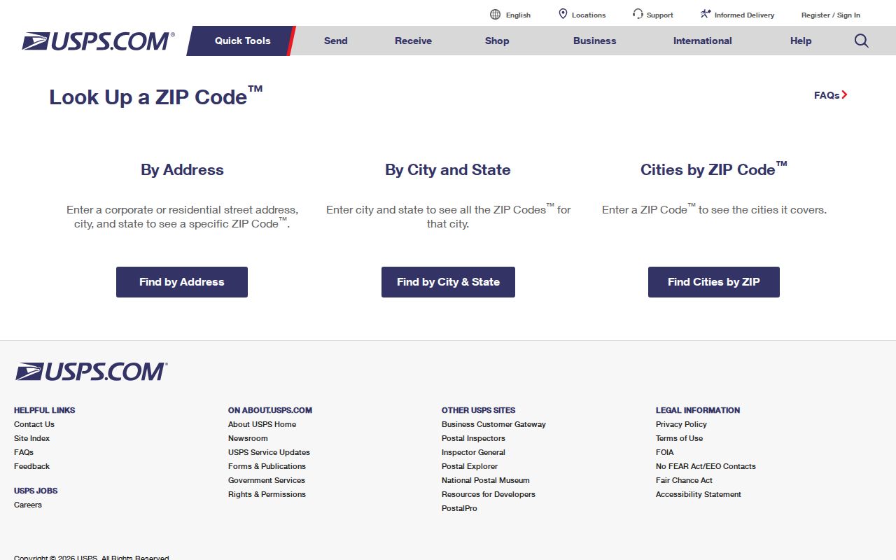
Use the returned USPS spelling as a current postal reference, then preserve it alongside the original record spelling when researching an older El Paso address.
El Paso ZIP Code Street Sides
The City street centerline layer records ZIPR and ZIPL, the ZIP values associated with the right and left sides of a street segment. One roadway can therefore have different ZIP information on opposite sides, or it can change ZIP across segments. The same layer supplies municipality fields, MUNR and MUNL, address ranges, aliases, street type, direction, and edit information. It is an address-range dataset, not a resident list.
Pair a ZIP with the full street, the returned municipality, El Paso County, and a source date. This is especially important near city, county, or military boundaries. An address can have a postal place name that differs from a GIS municipality value, and an EPCAD situs string can differ from a USPS-recognized city. Record both rather than choosing the one that looks most familiar.
- ZIP+4
- A more detailed postal code attached to a delivery address; it is not a neighborhood boundary.
- PO Box ZIP
- A ZIP used with post-office boxes. It should not be assumed to describe a street-delivery area.
- Unique ZIP
- A postal label associated with a particular organization or facility. A map may represent it differently from USPS.
- Carrier route
- A delivery-routing unit. It is not a legal boundary, census tract, or proof of who is connected to an address.
El Paso ZIP Code Record Workflow
ZIP is most useful as a narrowing field, not as a person identifier. Start with postal normalization, then use the geographic layers to see how the source places the address. For property context, EPCAD’s advanced search accepts owner name, address, Property ID, Geographic ID, subdivision, condo, DBA, tax year, type, result size, sorting, and order. Its address syntax is StreetNumber StreetName or StreetName. EPCAD’s current 2027 work-in-progress notice means a result should carry its tax year and retrieval date.
- Run the complete address through USPS and save its returned city string and ZIP.
- Compare that result with the WNV ZIP polygon and the centerline’s ZIPR or ZIPL value for the relevant street side.
- Use EPCAD’s address or GeoID search for a tax-year account lead, keeping the tax-year qualifier.
- For a historical instrument, move from the address or legal description to the County Clerk’s deed index or Official Public Records search.
- Use a city-recognized neighborhood boundary only as community context, not as postal or ownership proof.
Once the ZIP has narrowed the area, the El Paso street directory gives the more detailed address and street-alias workflow. For a map, archive, or nonpublic GIS question that the online layer cannot answer, use library reference assistance, the relevant custodian’s phone or email channel, or a written Texas Public Information Act request to the actual records holder.
El Paso ZIP Code Limits
ZIP boundaries do not follow city limits, neighborhood edges, appraisal-account geography, or Census ZCTAs in a uniform way. The county ZIP map covers a large geography that includes smaller communities, Fort Bliss, mountain and desert areas, and the dense city. City association polygons can cross or stop at postal areas. A recognized association boundary is not necessarily a postal place, legal subdivision, voting precinct, or homeowners association boundary.
Census describes a ZIP Code Tabulation Area as a statistical approximation, not a delivery boundary. Use a ZCTA for a statistical comparison only after labeling it correctly. Use USPS for current address delivery guidance. Use City GIS for its local polygons. Use the county reference map for its labels. Those distinctions keep an old directory, map, or appraisal entry from being assigned a present-day ZIP without evidence.
El Paso ZIP Code Neighborhood Context
El Paso’s neighborhood information adds a separate layer to ZIP research. The City’s neighborhood-association program names five planning areas: East, Northeast, Northwest, Central, and Mission Valley. The association boundary GIS uses NAME as its display field and includes named communities such as Austin Terrace, Chihuahuita, Cielo Vista, Five Points, Sunset Heights, Upper Valley, Ysleta, and Yucca. Those names can help orient a historic address, but they should remain distinct from a USPS city name or ZIP polygon.
For older geographic questions, Border Heritage at the El Paso Public Library offers maps, directories, newspapers, yearbooks, genealogy material, and remote or in-person reference help. Historical maps and atlases are a useful fallback when a current GIS feature cannot explain a historic name. The access trail is broader than a web map: USPS forms, county and City GIS, EPCAD, library reference staff, phone or email to the custodian, and a focused PIA request all have different roles.
Note: Preserve the map or directory’s original place label before comparing it with a modern ZIP result.
El Paso ZIP Code Source Dates
The official City WNV ZIP GIS layer shown below is a local polygon source used for countywide ZIP analysis. It is valuable for comparing labels and geography, but USPS remains the address-level authority. A careful record notes whether a value came from USPS delivery guidance, the county PDF, City WNV polygons, street-side centerline attribution, EPCAD situs context, or a Census ZCTA, then records the date the source was checked.
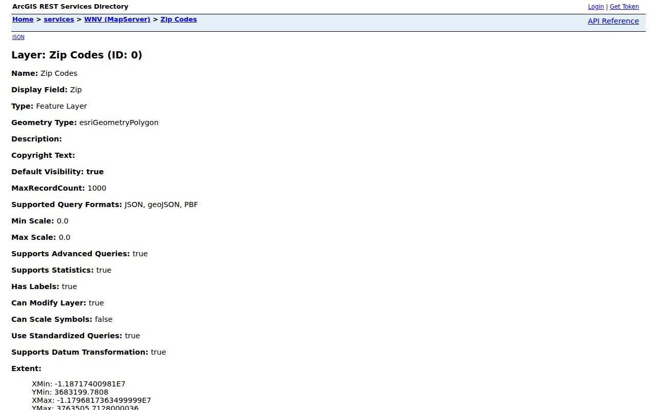
Compare the official GIS layer with the USPS response rather than copying a polygon label into a person record or treating it as an exact delivery boundary.
If a result remains unclear, record it as an unresolved map or postal difference. That is more accurate than forcing a single ZIP onto an address near a boundary.