
Trace an El Paso Street Address
An El Paso street directory is a chain of address-keyed sources. First make sure the road name, direction, type, and range are plausible in the City street centerline. Next use EPCAD to identify the appraisal account or property geography for the selected tax year. Parcel GIS adds mapped context. The County Clerk's index can then provide a recorded-instrument lead. A historic directory or newspaper can add a dated household or business listing, but it cannot substitute for a current record.
The order matters. A street name may have an alias, and values for ZIP or municipality can differ by road side. An EPCAD row is an appraisal record, not a certified ownership chain. A deed index points to an instrument, while an image or custodian copy controls the actual legal text. If the goal shifts from one named street to one specific person, use the separate resident lookup workflow instead of joining weak name matches.
- Check the street centerline for the printed street name, direction, type, aliases, and left or right address range.
- Search EPCAD by address, Property ID, GeoID, subdivision, or owner field and retain the tax year.
- Use the City parcel layer to see parcel geometry and identify context around the addressed lot.
- Search the County Clerk current records form by subdivision, lot, block, tract, deed name, style, or date; use the historic index for 1874 through 1963.
- For an older occupant trail, compare a directory year with newspapers, maps, or an archive item while preserving the original spelling.
El Paso Street Names and Aliases
The official City centerline layer represents roadway address ranges on both sides of each line. Its relevant fields include DIR, STREETNAME, STYPE, FROMLEFT, FROMRIGHT, TORIGHT, TOLEFT, ZIPR, ZIPL, MUNR, MUNL, ALIAS1, ALIAS2, ALIAS3, PLANAREA, CLASS, and EDIT_DATE. That is why a quick map label is not enough for a street directory search. A street can have a historic spelling, direction abbreviation, or alias that needs to be tested against the current fields.
County subdivision regulations add useful context. New street names generally may not exceed 20 characters or duplicate an existing name, and extensions should retain an existing name. Blocks generally increase by 100 every 1,300 feet or a reasonable block. Even and odd numbering conventions are general rules, not proof that a historic listing was wrong. An assigned address supports emergency or service location and does not mean a road or subdivision was accepted.
The El Paso street-centerline layer exposes the road-side and alias fields used for this check.
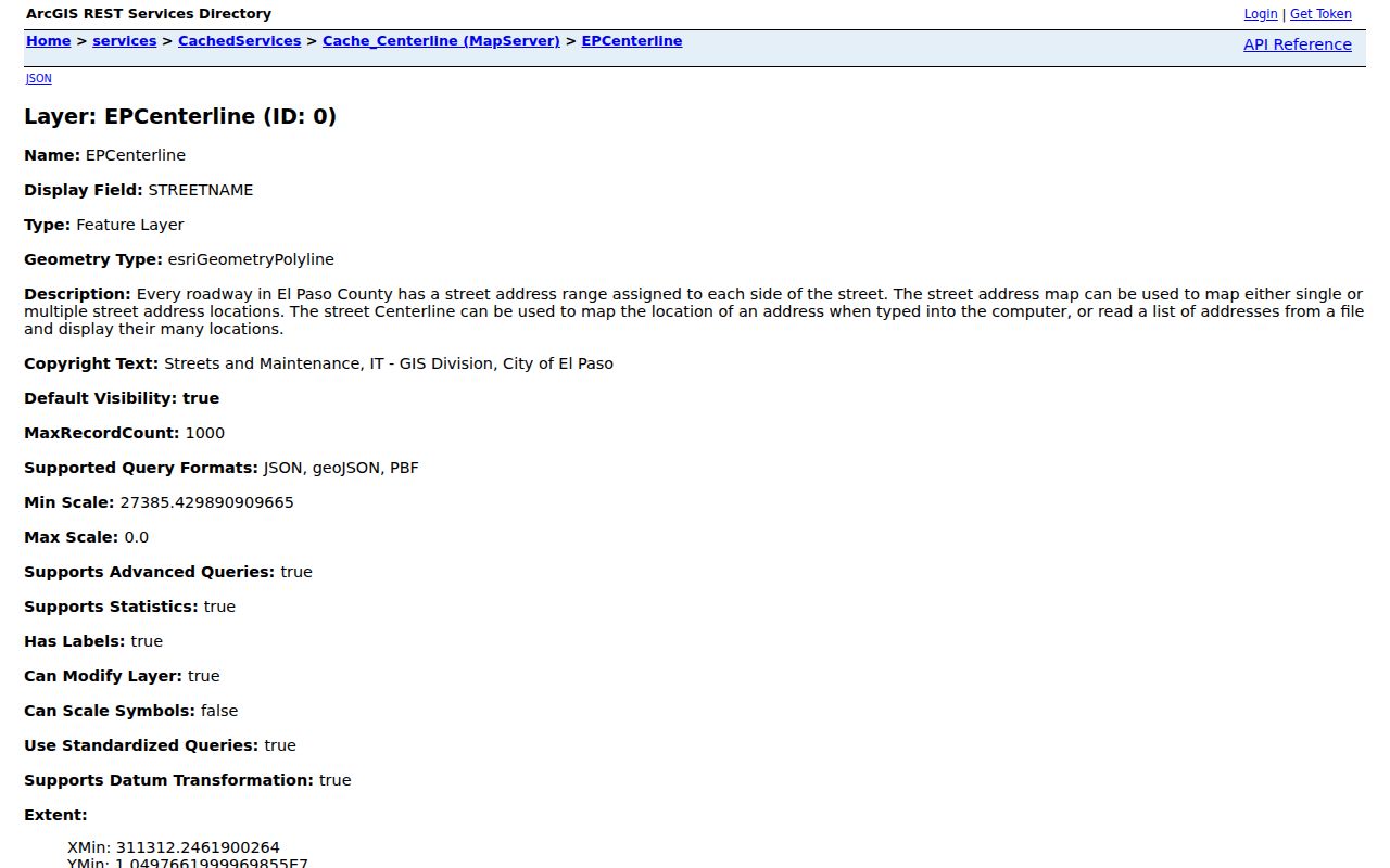
The centerline screen is a location tool. It does not name the residents of an address.
El Paso Street Directory Search Fields
EPCAD is the county appraisal district, not the recording office. Its simple search accepts name, address, Property ID, or GeoID. The advanced search breaks the task into owner name, address, Property ID, Geographic ID, subdivision, condo, Doing Business As, tax year, type, results per page, sort field, and sort order. Owner input accepts LastName FirstName or a last name. An address may be entered as StreetNumber StreetName or as a street name alone.
| EPCAD field | Use in a by-address search |
|---|---|
| Address | Find a property account from a number and street name or a street name |
| Property ID / GeoID | Carry a specific property reference across EPCAD work |
| Subdivision | Narrow a lot or legal-description question before deed research |
| Tax year | Identify the appraisal period represented by the returned data |
| Results and sorting | Control a broad street or name result set |
The researched EPCAD screen described 2027 work as in progress, called prior-year data informational, and said building and land details may be unavailable before 2013. Record a retrieval date. An appraisal value, owner field, or situs line can be a useful lead, but it is not the same as a certified deed or a present-residence finding.
El Paso Street Records by Address
Address records overlap without being interchangeable. The street directory view is strongest when each result stays in its own lane. EPCAD can connect an account with a tax-year property context. The City parcel service can identify or query mapped geometry. The Clerk can index parties and instruments. Accela can show regulatory activity connected to a project, building, or parcel. A historic directory can print an older address context. No single row answers all of those questions.
| Address-keyed source | What it shows | Custodian | Access path |
|---|---|---|---|
| EPCAD property search | Tax-year account, GeoID, visible name and address fields | El Paso Central Appraisal District | Public search and Open Government downloads |
| EPParcels GIS | Parcel geometry and map-query context | City of El Paso GIS | Identify, query, find, and export operations |
| Official Public Records | Document, subdivision, style, book or legal-description leads | County Clerk | Current portal and Recording Division copies |
| Historic Deed Index | Party role, year, book, volume, and page from 1874-1963 | County Clerk | QuickLink search, image purchase where available |
| Accela permits and licenses | Project, permit, license, address, parcel, status, and dates | City Planning and Inspections | Public general search |
Note: A permit can establish building or project context at an address, not that a named person lived there.
El Paso Parcels Are Not Deeds
The City EPParcels service supports map export, identify, query, find, and return-updates operations. It uses a feet-based spatial reference and has a maximum record count of 2,000. That makes it useful for checking parcel shape or adjacent mapping context along an El Paso street. Field-level parcel attributes were not fully captured in the research, so a page result should be labelled with its source, selected field, and query date.
Parcel geometry is not a certified ownership source. The research directs users to reconcile an ownership interpretation with EPCAD and the County Clerk. When a map, appraisal entry, or deed index disagrees, retain the disagreement and ask the Recording Division for the controlling document or copy. A parcel split, subdivision amendment, or address change can also explain why a historic and current record use different descriptions.
The City parcel MapServer is the official map service used for parcel context.
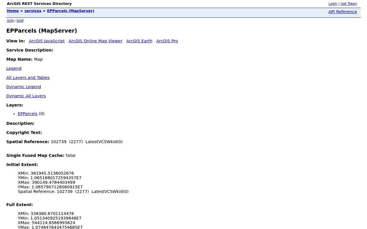
The service illustrates the parcel layer that should be paired with, rather than substituted for, county record evidence.
El Paso Street Permits and Projects
City Planning and Inspections uses the Accela public portal for building, planning, enforcement, traffic control, transportation-for-hire, fire, and related search services. Its general-search fields include start and end date, building type, project name, building number, license type, name of business, street-number range, direction, street type, street name, unit, parcel number, city, state, and ZIP. Public search does not state a fee, while login or registration is available for account functions.
A returned record may display a permit or license number, project or name, address, parcel, type, dates, status, and related details. It can establish that a project or regulatory record was associated with a location. It should never be read as a household list. The City warned researchers about false Planning and Inspections fee messages, so start at the official City page or official Accela domain rather than an unsolicited payment link.
The City Accela search is the public entry point for the address and parcel fields.
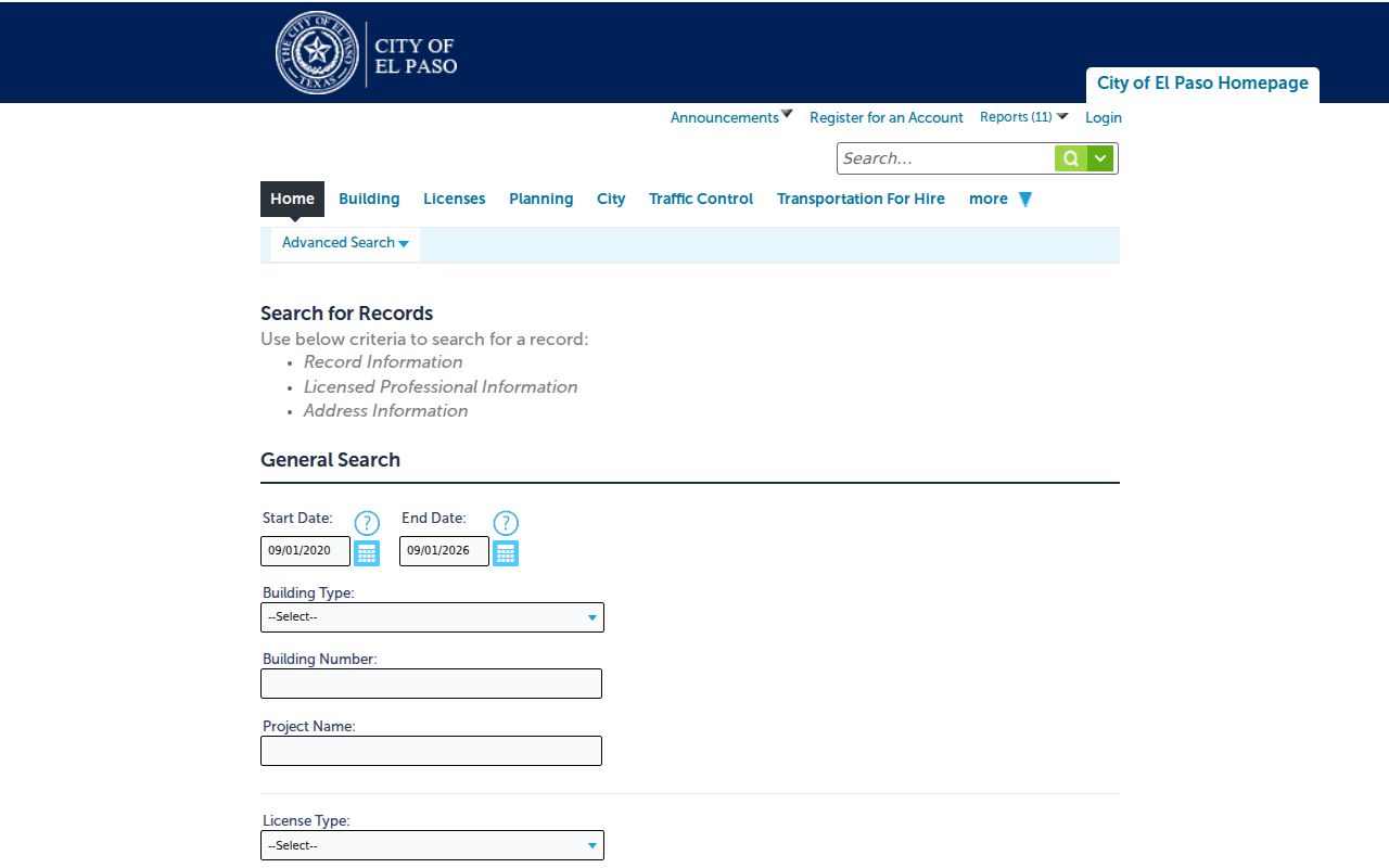
The form shows why a street, parcel, unit, and date are better filters than a broad name search.
El Paso Subdivisions Before Deeds
A lot, block, unit, or tract phrase is often the bridge from an address to a recorded instrument. The City subdivision viewer supplies an A-Z and map/list route for subdivision names. It can help associate a legal-description term with mapped geography before a researcher opens the Clerk form. The viewer is not a deed substitute, and its field inventory, export behavior, and historical coverage were not captured. Preserve it as a map lead, not an ownership conclusion.
The current records form permits subdivision, lot, block, unit, and tract inputs, alongside deed name, document style, book, page, and date. If ten documents are returned, narrow by those fields rather than assuming the first result describes the whole chain. A subdivision name should be transcribed as indexed because a spelling adjustment can hide a record or merge different places.
- Parcel
- A mapped land unit used by the appraisal or GIS system.
- Situs address
- A location string used in a record system; EPCAD does not certify every situs address.
- Plat
- A recorded map that can describe a subdivision or lot arrangement.
- Criss-cross directory
- A historical directory arranged by address or street rather than only by surname.
El Paso Streets Across Time
Historic street work begins with the name exactly as printed. UTEP city-directory volumes supply early alphabetical, business, and street-guide material from 1885 through 1906. Border Heritage has directories, maps, newspaper microfilm and fiche, yearbooks, vital indexes, cemetery records, and vertical files. The Historical Society holds city directories from 1886 to 2011 along with maps and photographs. These sources can place a name, business, structure, or household in a specific period.
Use the historic spelling first, then compare it with current centerline aliases and road-side ranges. The Library of Congress 1952 El Paso Sanborn collection has 60 sheets and can add lot or building context, not a current ownership answer. The El Paso city-directory collections page gives the fuller collection and volume trail. A missing historic listing should remain a missing listing, because publication timing, spelling, and scan access can all affect it.
El Paso Street Directory Limits
An El Paso street directory can locate a public record trail, but it cannot establish every person connected to a block. A current appraisal field may show a tax-year account name. A deed index may name a party to an instrument. A directory may list a person at an address during the publication year. A voter or vital record may be protected. Mapping layers show geography, not a census of private households. Do not turn several incomplete sources into a current-person dossier.
Texas voter rules include confidential fields, web suppression, and Address Confidentiality Program protections. Texas Public Information Act requests must go to the actual custodian and can be subject to exceptions. If an official source does not resolve a question, record the gap or ask the custodian for a lawful, narrowly described record rather than guessing.
El Paso Street Fraud-Alert Context
The County Clerk advertises a free Property Fraud Alert service that can send voice, text, or email notices about filings associated with information a subscriber chooses. The Clerk's 2024 annual report counted 1,578 property-fraud letters, which explains why a filing-monitoring option belongs beside a street-record workflow. It is a notice tool, not a street directory result. An alert does not establish fraud, ownership, residence, identity, or the legal effect of an instrument.
Use the notice as a prompt to check the County Clerk index and request the relevant document through the Recording Division. Compare the filing date, party role, document style, and legal description with the property question already in hand. If a concern involves a possible crime or an urgent property matter, use the appropriate official office or professional advice. Do not use alert information to investigate or contact a private person.